Precision Capture - Advanced Data Analytics
We provide a comprehensive suite of aerial and rope access inspections and surveys, with a core focus on creating high-fidelity, interactive 3D digital twins.
Services
Advanced Aerial Data & High Resolution Surveys
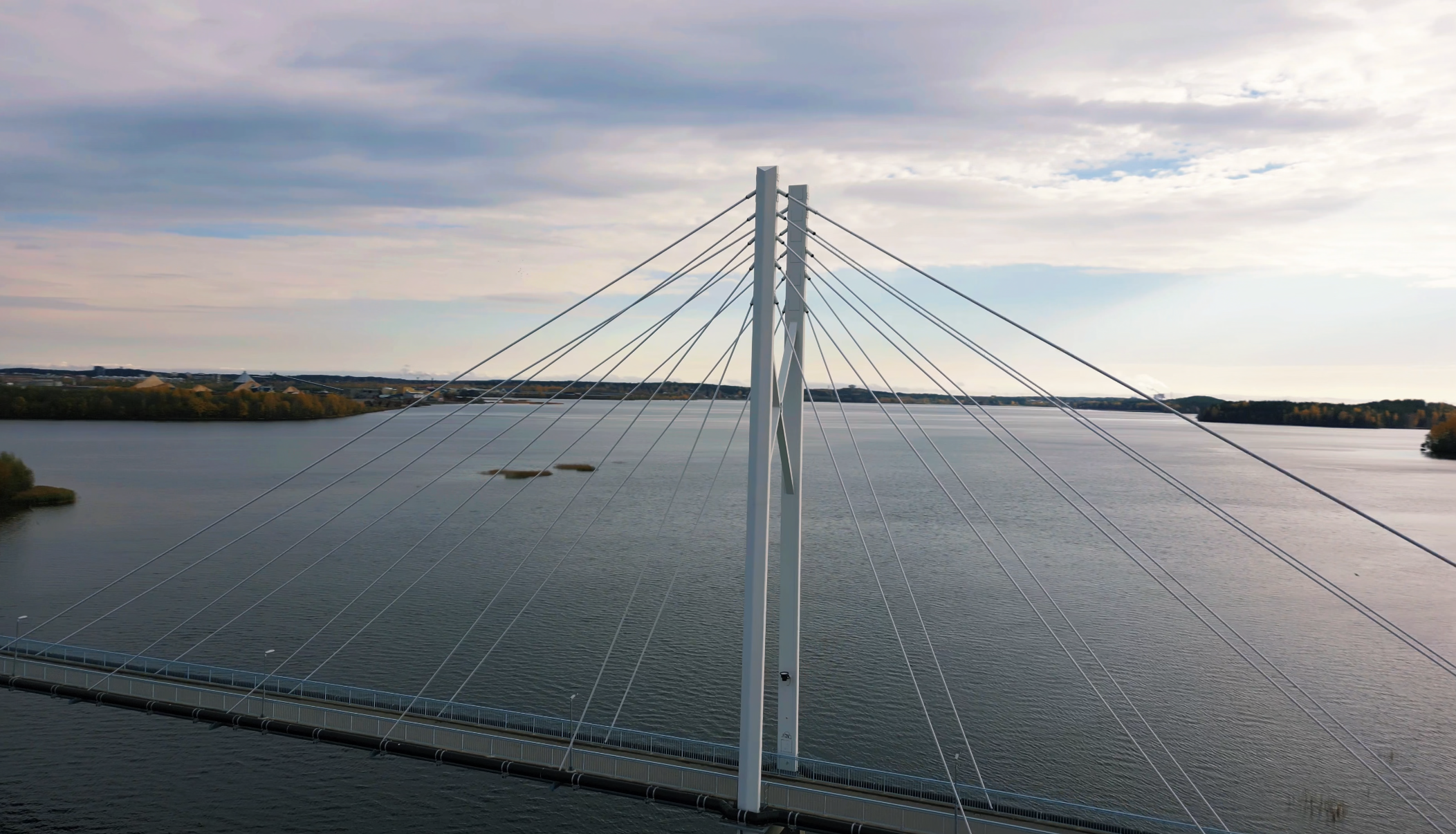
We deploy commercial UAV platforms equipped with high-resolution radiometric and thermal sensors to inspect complex vertical assets, infrastructure, and structural frameworks. Our drone surveys deliver rapid, non-invasive data capture to identify structural anomalies and defects without operational downtime, providing the high-fidelity foundation required for interactive 3D digital twins.
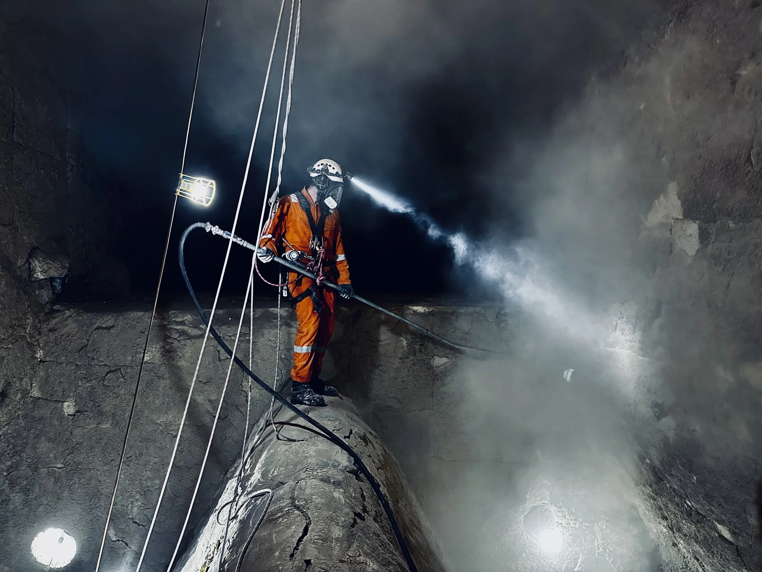
Dual-Discipline Technical Expertise
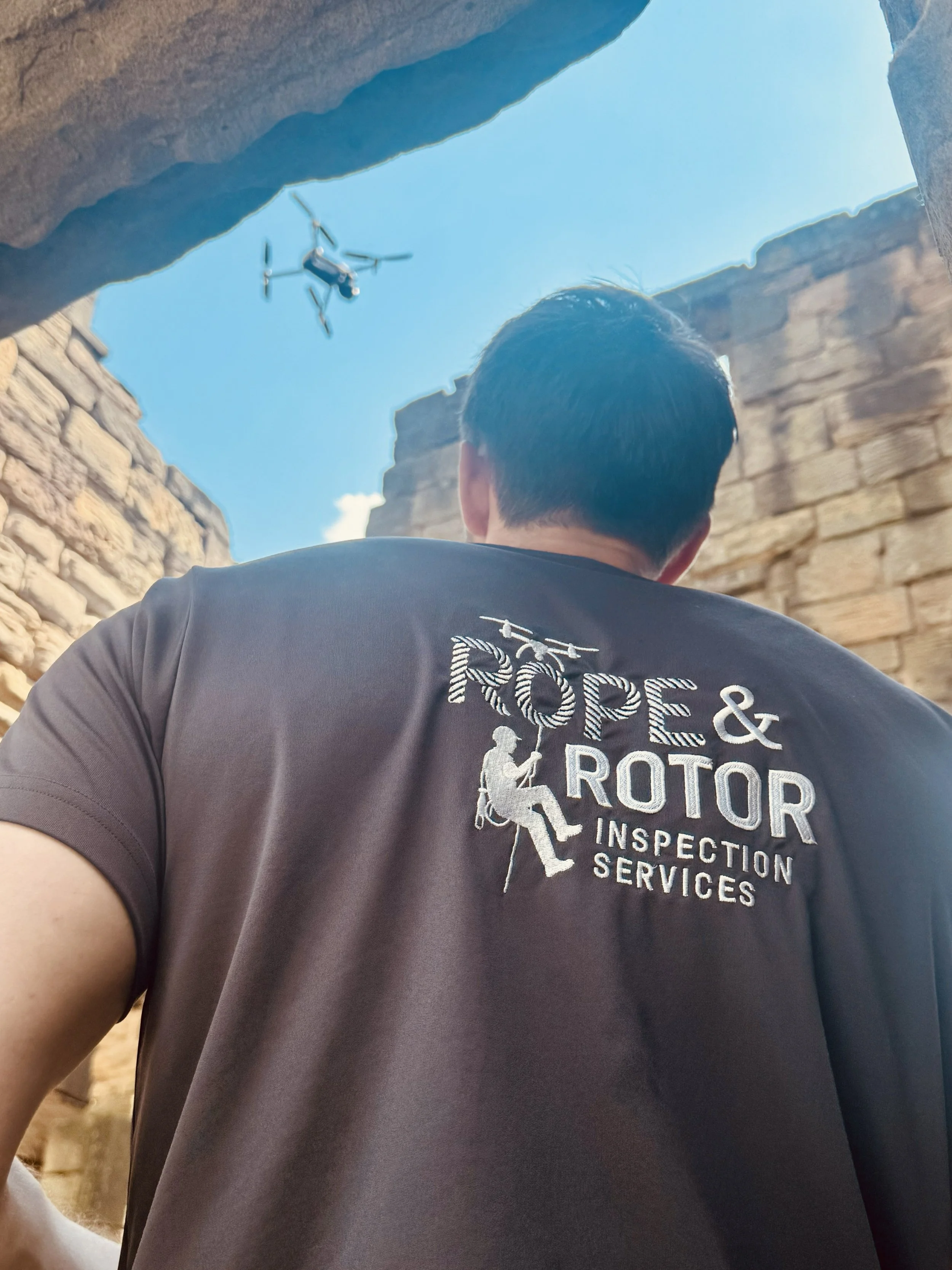
With over 30 combined years of heavy industrial rope access and IRATA Level 3 technical supervision, the specialists executing your drone surveys are equally at home on the ropes. We bridge the gap between advanced aerial intelligence and hands-on structural delivery. Whether self-delivering close-quarter inspections, performing NDT, or collaborating alongside your existing access contractors and trusted IRATA partners like Altofix, we ensure every physical and digital base is completely covered.
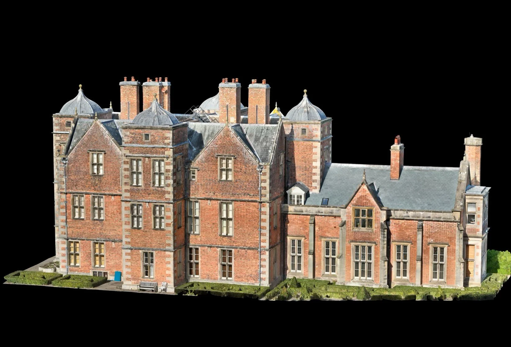
Interactive 3D Spatial Data & Secure Cloud Hosting
We transform raw sensor telemetry and photogrammetry into high-fidelity 3D digital twins and Gaussian splats hosted securely on cloud infrastructure. Our interactive digital twin platform allows engineering teams, stakeholders, and external consultants to navigate assets virtually, accurately measure tolerances, and annotate structural defects directly on the 3D model.